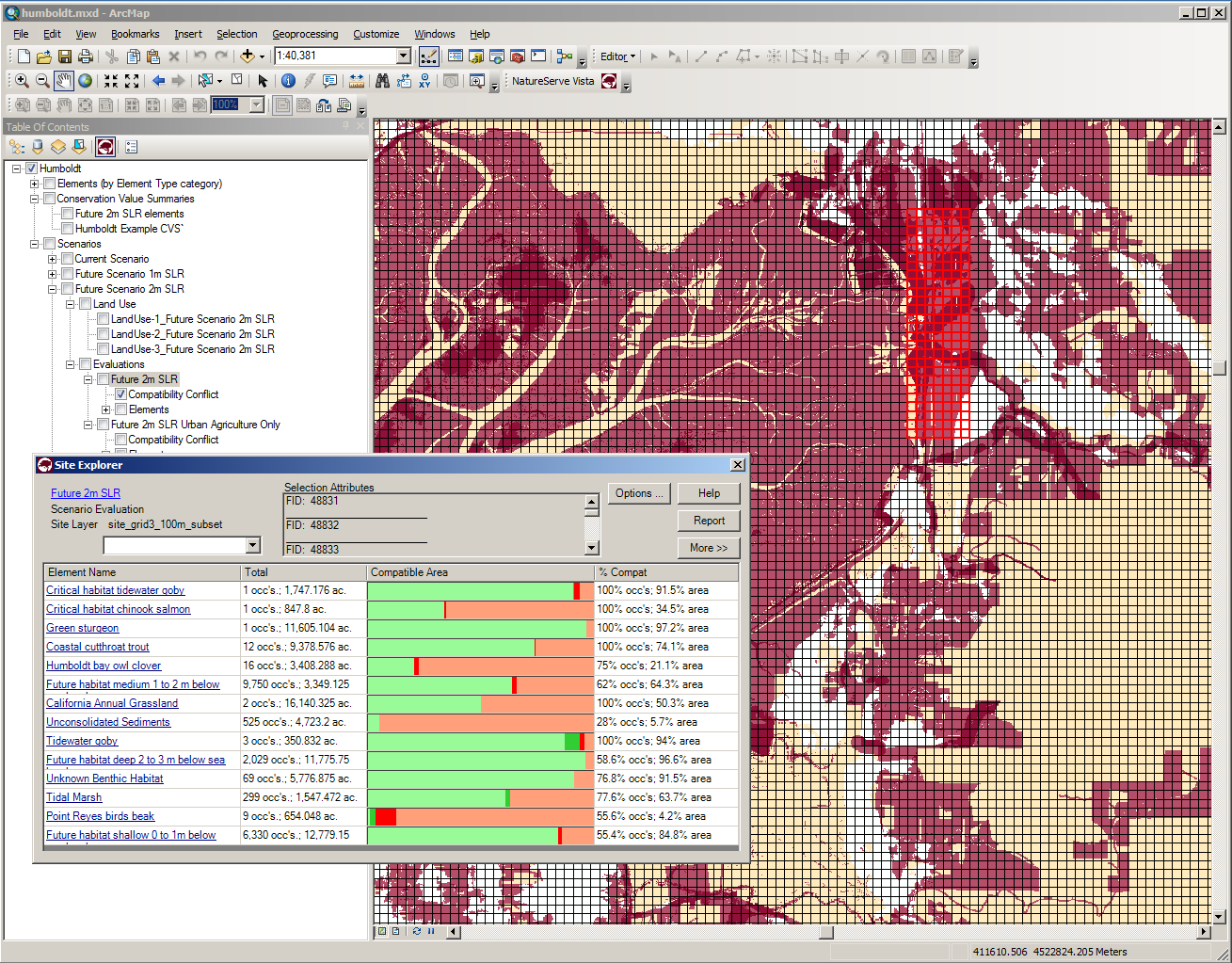
NatureServe Vista is a robust conservation assessment and planning software.
It is an extension to ArcGIS 10.x in continuous release since 2004. The tool’s functions fit well with the spatial aspects of the Open Standards and it works well in a toolkit approach such as with Miradi, Marxan, InVEST and other conservation tools. It is also a multi-objective tool that facilitates finding balanced solutions when working with multiple use agencies or communities to represent their socioeconomic values.
Vista supports the full planning cycle from gathering expert knowledge and spatial data, finding patterns of value in the landscape/seascape, conducting scenario-based cumulative effects assessment, conducting site level review of proposed actions, offsite mitigation, developing entire new alternatives and plans, and supporting ongoing plan implementation and adaptive management.
NatureServe provides full support services for Vista. To learn more and register for a free download, go to https://www.natureserve.org/products/natureserve-vista.

